
Blaise is going to spend most Tuesdays in the summer introducing the kids to Toronto’s neighbourhoods, or finding and exploring all of the city’s “hidden gems.” Before these travels begin, however, they spent a day “mapping” both the city of Toronto and our Upper Beaches neighbourhood, newly dubbed “Beach Hill.”
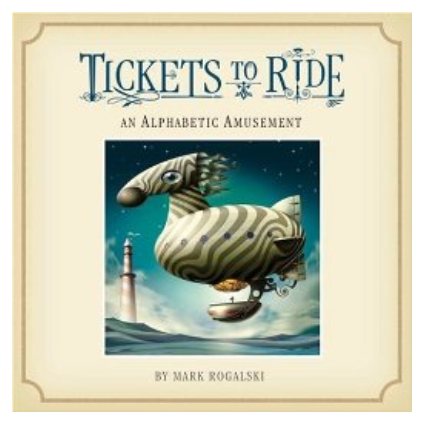 To get started, they looked at a book their grandmother gave them, Mark Rogalski’s Tickets To Ride: An Alphabetic Amusement. The book includes a map of the imagined amusement park and poems about its imagined rides from A-Z. This enabled them to talk about keys and legends, symbols, and scale. Then, they talked about the relative accuracy of maps, discussing how early map-makers might have “filled in the blanks” based upon imagination or partial knowledge, about cartoonish images on tourist maps, subway maps designed to “fit” onto standard sized poster papers. Finally, they discussed maps as pieces of artwork.
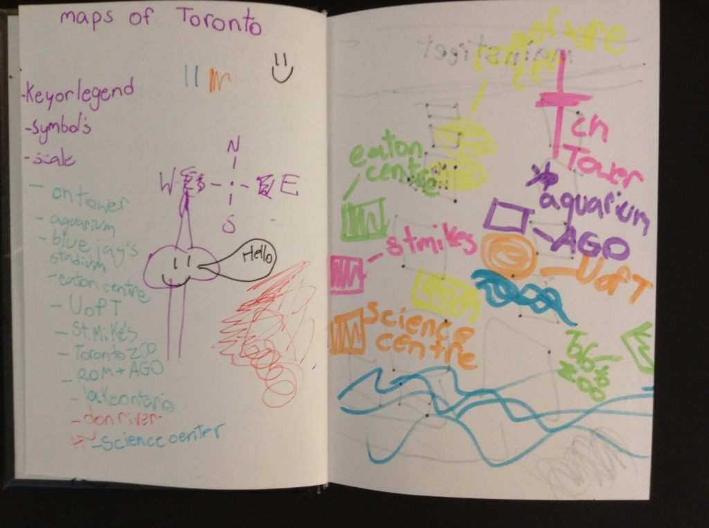
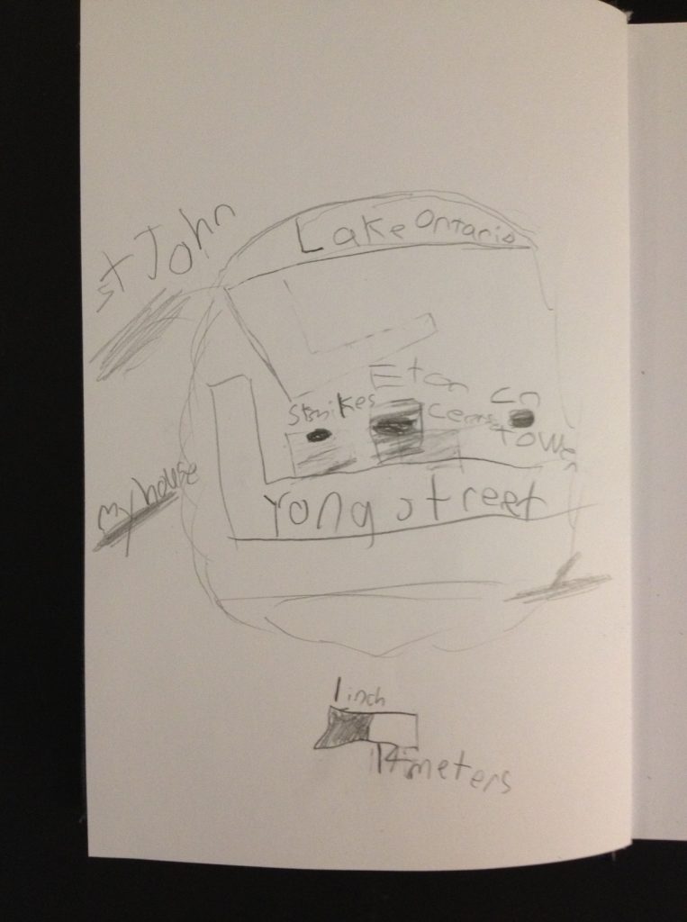
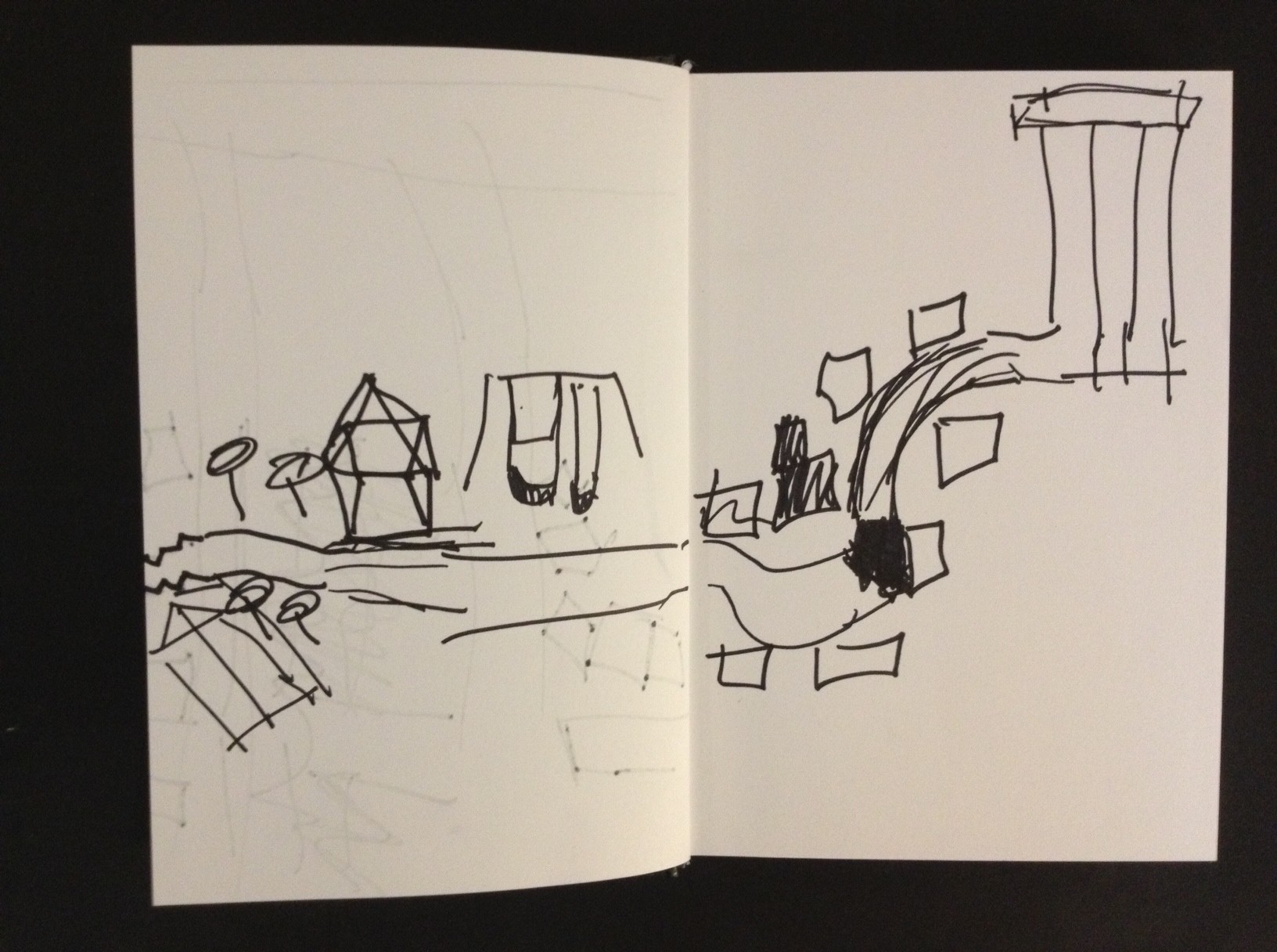
Then, Blaise had the kids make their own maps of both the City of Toronto and our Beach Hill Neighbourhood. Rather than showing them actual maps of these places (this will come later), he had them brainstorm all of the landmarks and features of the city and our ‘hood. The kids stuck mostly to big “sights” or “locations” like the CN tower, so Blaise guided them by asking about natural features such as the lake. Then, they got all excited and began to discuss Toronto’s ravines. Finally, he had them go to separate rooms and, choosing the paper and pens they wanted most to use, draw two maps: 1) a fairly “formal” map of the city of Toronto using symbols and legends like the ones they had seen in the Rogalski book, i.e., an “accurate” map and 2) a more free-form map of our neighbourhood that tells a story or conveys a feeling, a “psychogeography” as he said to them.
He plans on doing this with them again at the end of the summer to see how their perspectives change after a few weeks of in-depth tours…
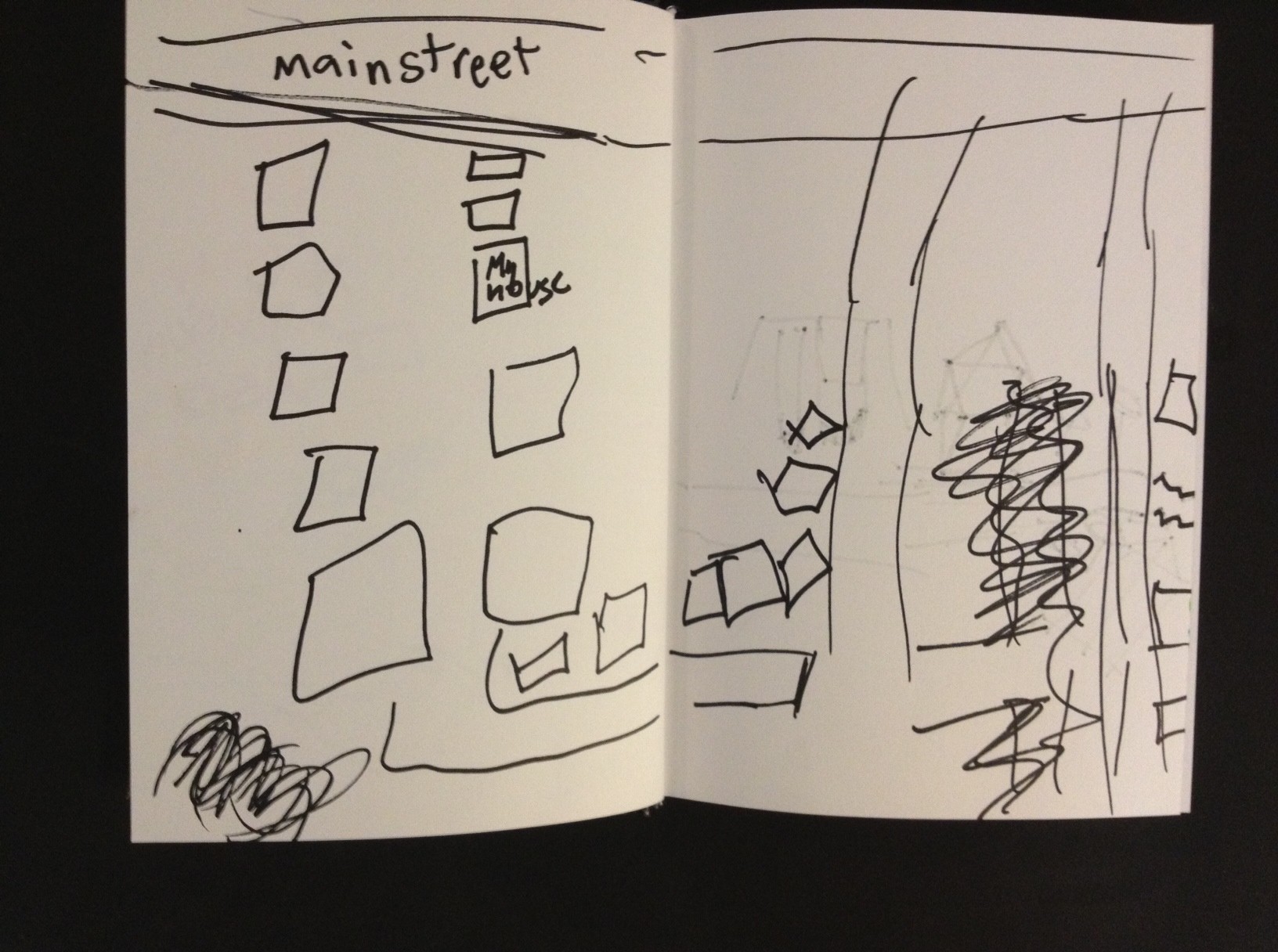
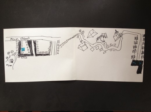
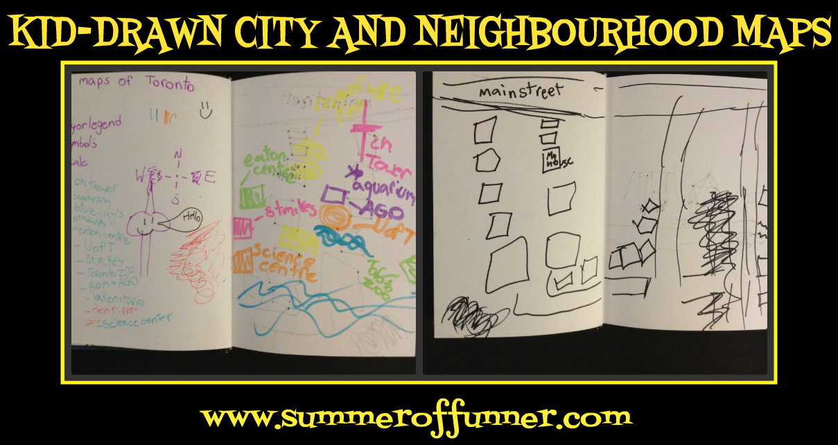
Here are a few of the results:
______________________
And here’s a little DIY…
KID-DRAWN CITY AND NEIGHBOURHOOD MAPS – DIY
MATERIALS
One or two maps (not of your own town) to use as a reference point
Paper
Pens, Crayons, Paints or Markers
METHOD
First 10 minutes:
Brainstorm and write down the key landmarks and natural features of your city and local neighbourhood
Have the kids split apart and gather their art supplies
Next 15 minutes:
To the best of your ability, draw one “formal” map of your city, including a compass, scale or key
Final 15 minutes:
To the best of your ability, draw one free-form map of your neighbourhood that tells a story or conveys a feeling

Comments are closed.